


HPD Konferencije
About CroatiaCroatia extends from the furthest eastern edges of the Alps in the northwest to the Pannonian lowlands and the banks of the Danube in the east; its central region is covered by the Dinara mountain range, and its southern parts extend to the coast of the Adriatic Sea. The mainland covers 56,542 km2, and the surface of the territorial sea is 31,067 km2. The coastline of Croatia is 5,835 km long in total of which 4,058 km belongs to islands, solitary rocks and reefs. Hence, Croatia is often also referred to as “the country of thousand islands.” For detailed travel information (maps, etc.) and other general information about the Republic of Croatia (e.g. Croatia’s traditional cuisine and wine), including a number of photos, please visit the following websites:
Croatian National Tourist Board
Croatian emblem, central part of Croatian flag. Paška čipka (Pag Lace), type of lacework, sewed by needle, which is a part of traditional arts of the island of Pag (central part of Croatian coast) and of the lacework school that was founded in 1906. Plitvička jezera (Plitvice lakes), national park of 16 interlinked lakes in the central part of Croatia. Kornatski otoci (Kornati Islands), the largest archipelago in Adriatic see, national park that consists 147 islands. Sljeme ski lane, located on mountain Medvednica (north of capital Zagreb) that hosts FIS World Cup slalom since 2005.  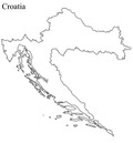  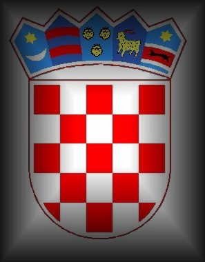 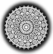 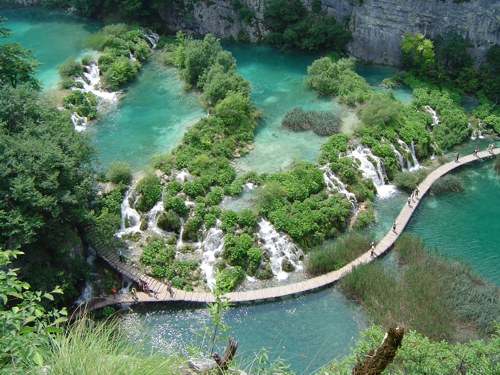 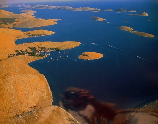 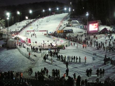 |